Forest and land fires are a recurring threat in many parts of Indonesia, especially during the dry season. Their impact reaches beyond the environment to public health, transportation, and economic activity. That is why prevention and early detection are key.
1. Hotspot monitoring. Satellite data can flag locations with unusually high surface temperatures. Monitored regularly and combined with area maps, it helps field teams prioritize which areas to check first.
2. Weather and dryness data. Wind direction, rainfall, and how dry the land is all affect how fast fire spreads. Combining weather data with hotspot data helps estimate which areas are most at risk.
3. Field sensors. Internet-connected temperature, humidity, or smoke sensors can automatically alert officers when dangerous conditions are detected, especially in areas far from settlements.
4. Digital reporting systems. A simple patrol app that records GPS location, photos, and land conditions sends field reports straight into one system, so decision-makers do not have to wait for manual recaps.
5. Data analysis and AI. With enough historical data, analysis can help identify areas that burn often and the most vulnerable periods, so patrols and resources can be deployed more precisely.
Technology does not replace people in the field; it helps them decide faster and better. For plantation companies, local governments, and communities in fire-prone regions such as Riau, an information system that brings data and field reports together can be a realistic first step.
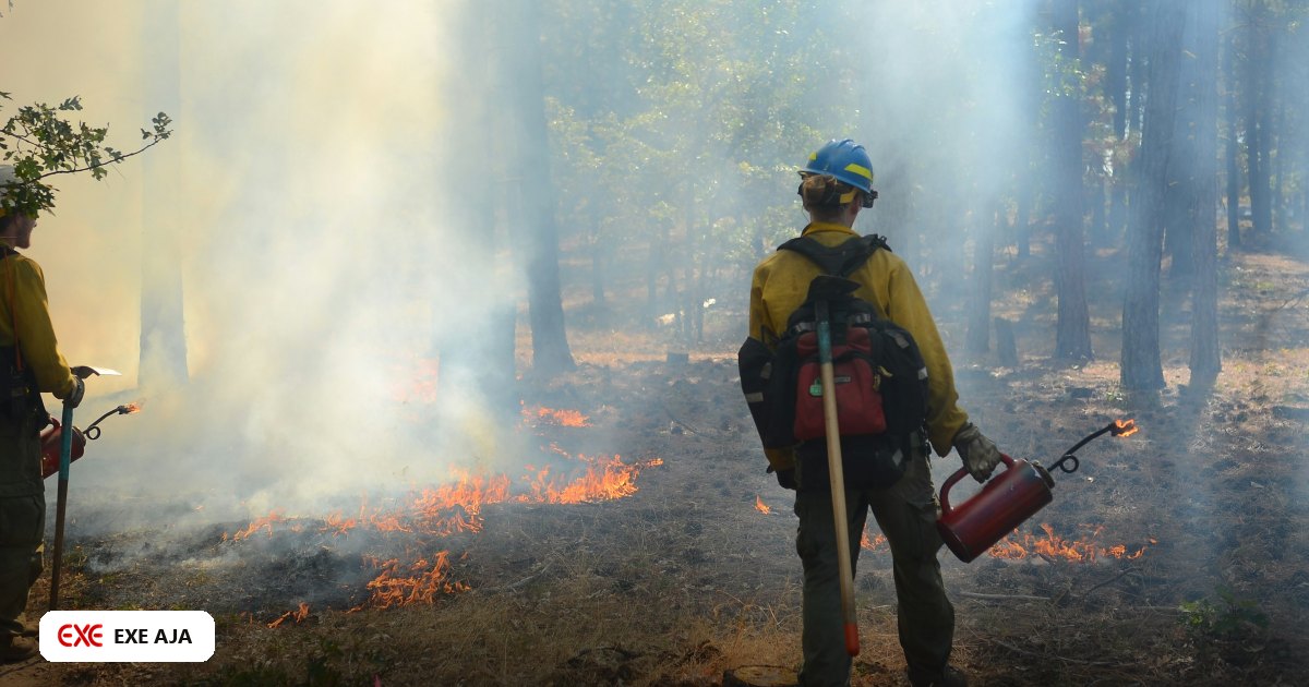
Illustrative photo: Emma Renly via Unsplash.